Helping States and Farmers Measure Conservation Practices at Scale with NASA Remote Sensing
Across the Chesapeake Bay watershed, farmers are adopting conservation practices that improve soil health, reduce erosion, and keep excess nutrients out of local waterways. Understanding which practices deliver the greatest benefits, however, can be difficult to measure over thousands of fields.
Through a NASA Acres-supported project, Dr. Alison Thieme of University of Maryland, Drs. W. Dean Hively and Brian T. Lamb of the U.S. Geological Survey, and Dr. Jyoti Jennewein of USDA-Agricultural Research Service are helping address that challenge by combining field boundaries and management data, satellite observations, field measurements, and advanced remote sensing technologies to evaluate conservation practices at scale as part of the consortium's Research, Development, and Extension (RD&E) partnerships. This interagency-university research partnership forms the core of the Precision Sustainable Agriculture’s (PSA) Remote Sensing Team, which was awarded the 2025 Science and Society Award by the American Geophysical Union.
Working closely with the Maryland Department of Agriculture, the research team analyzes approximately 26,000 agricultural fields each year to assess cover crop performance. Cover crops, which are planted between growing seasons rather than for harvest, help protect soil, reduce erosion, and capture excess nitrogen before it reaches nearby waterways. These environmental benefits are mediated by crop performance, often measured as ground cover and biomass accumulation, which can be challenging to estimate at scale. Using daily Harmonized Landsat Sentinel-2 (HLS) observations, the team provides field-level information on cover crop growth and termination, helping program managers evaluate conservation practices throughout the state. By measuring these outcomes across thousands of fields with remote sensing, researchers can help identify which management approaches are delivering the strongest environmental benefits.
In a related effort, the team is partnering with North Carolina State University to use machine learning fueled by HLS and commercial imagery to estimate crop residue cover and conservation tillage practices across the Delmarva Peninsula. This work is helping improve the ability of state agencies and conservation partners to monitor conservation practices and better understand their environmental impacts.
The team's role is to provide information, not make decisions. The data and analyses generated through the projects help partner agencies such as the Maryland Department of Agriculture make informed decisions about conservation programs while reducing the need for costly and time-intensive field inspections.
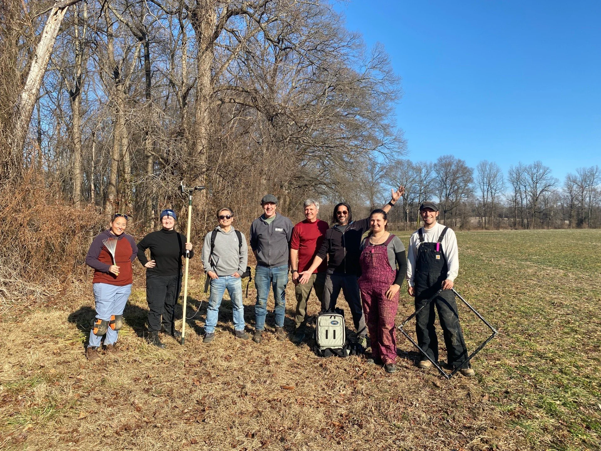
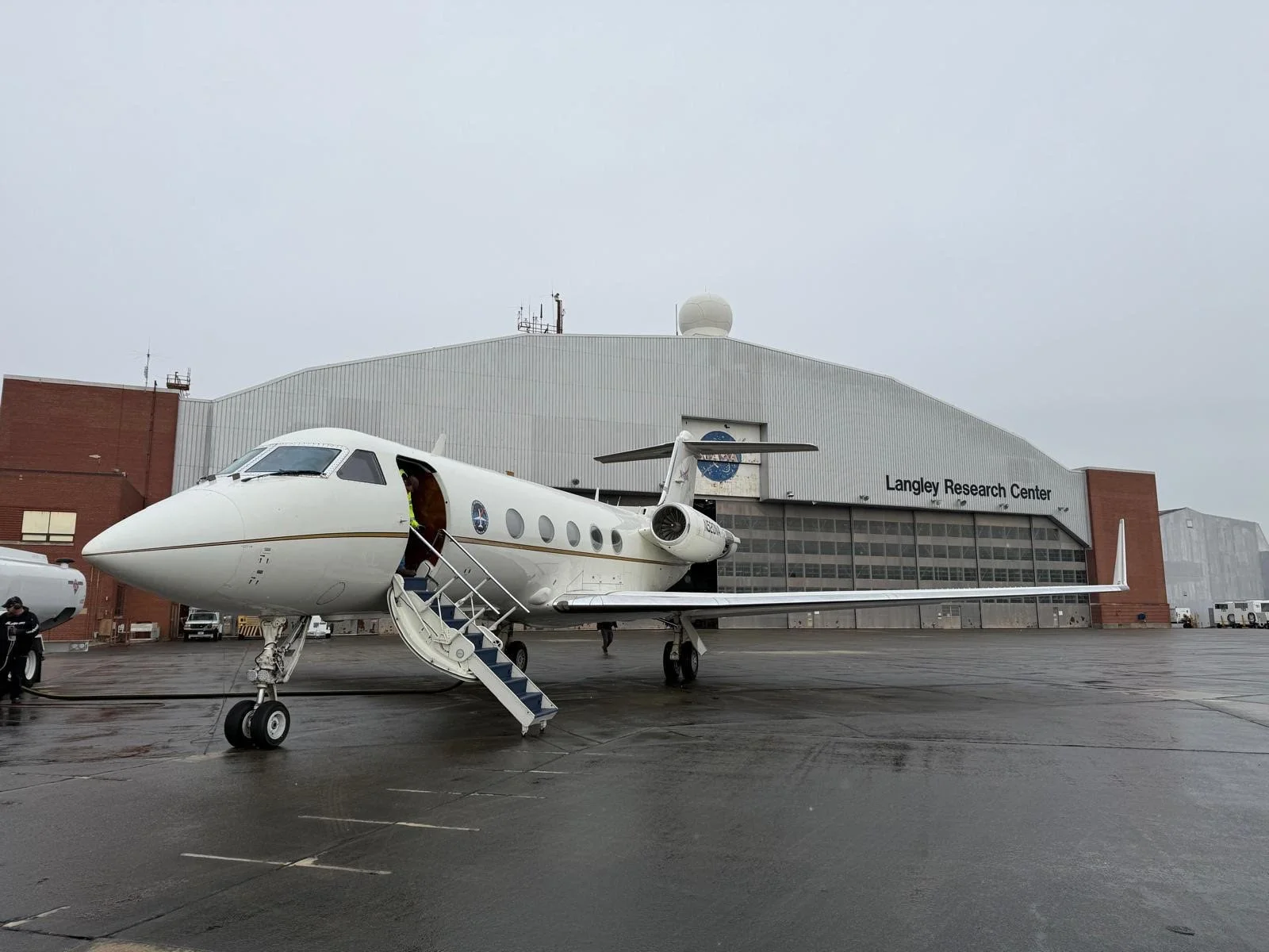
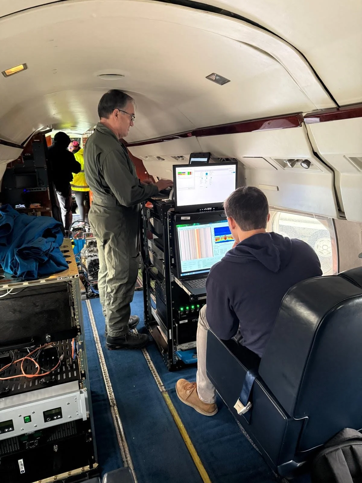
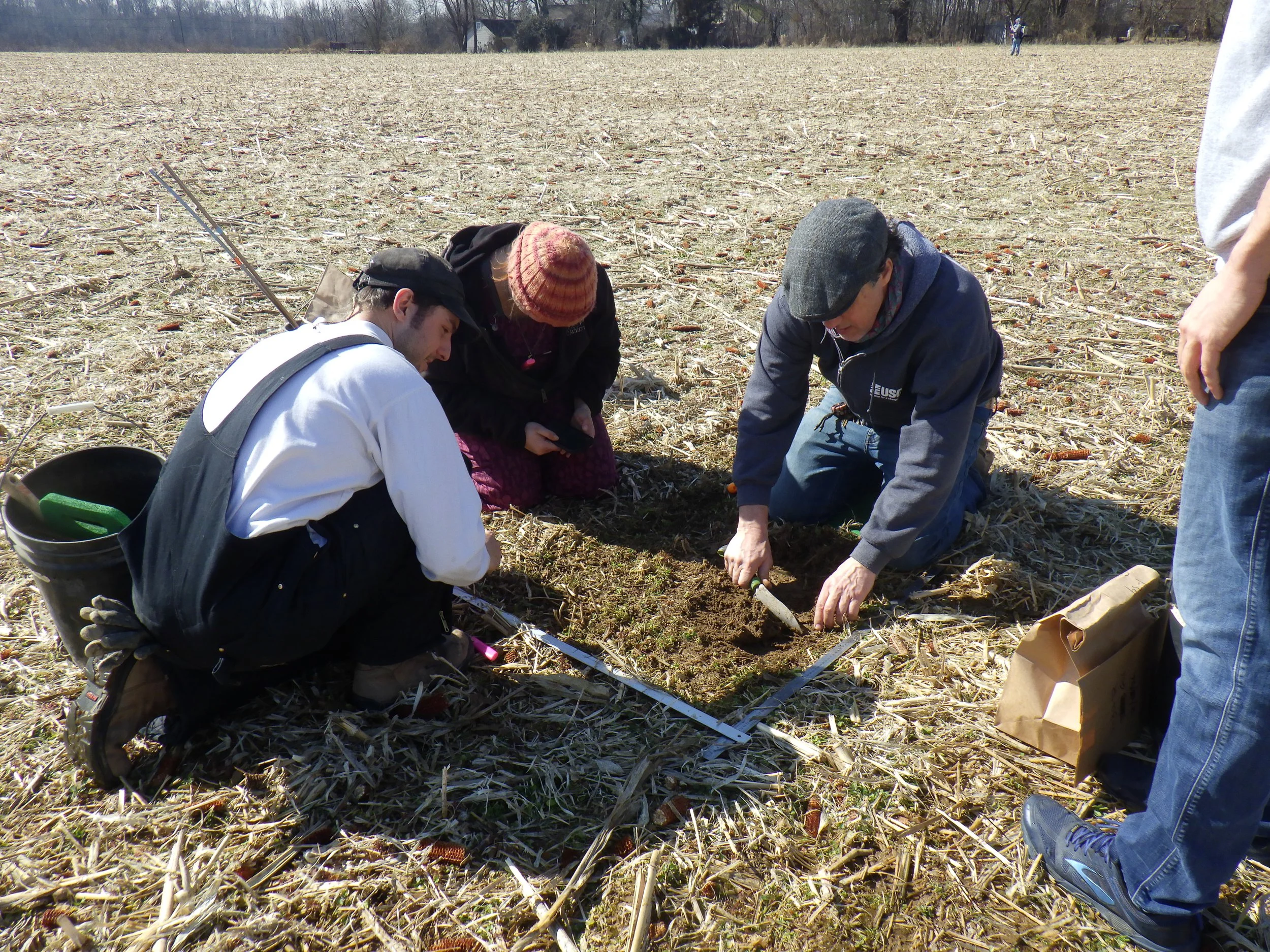
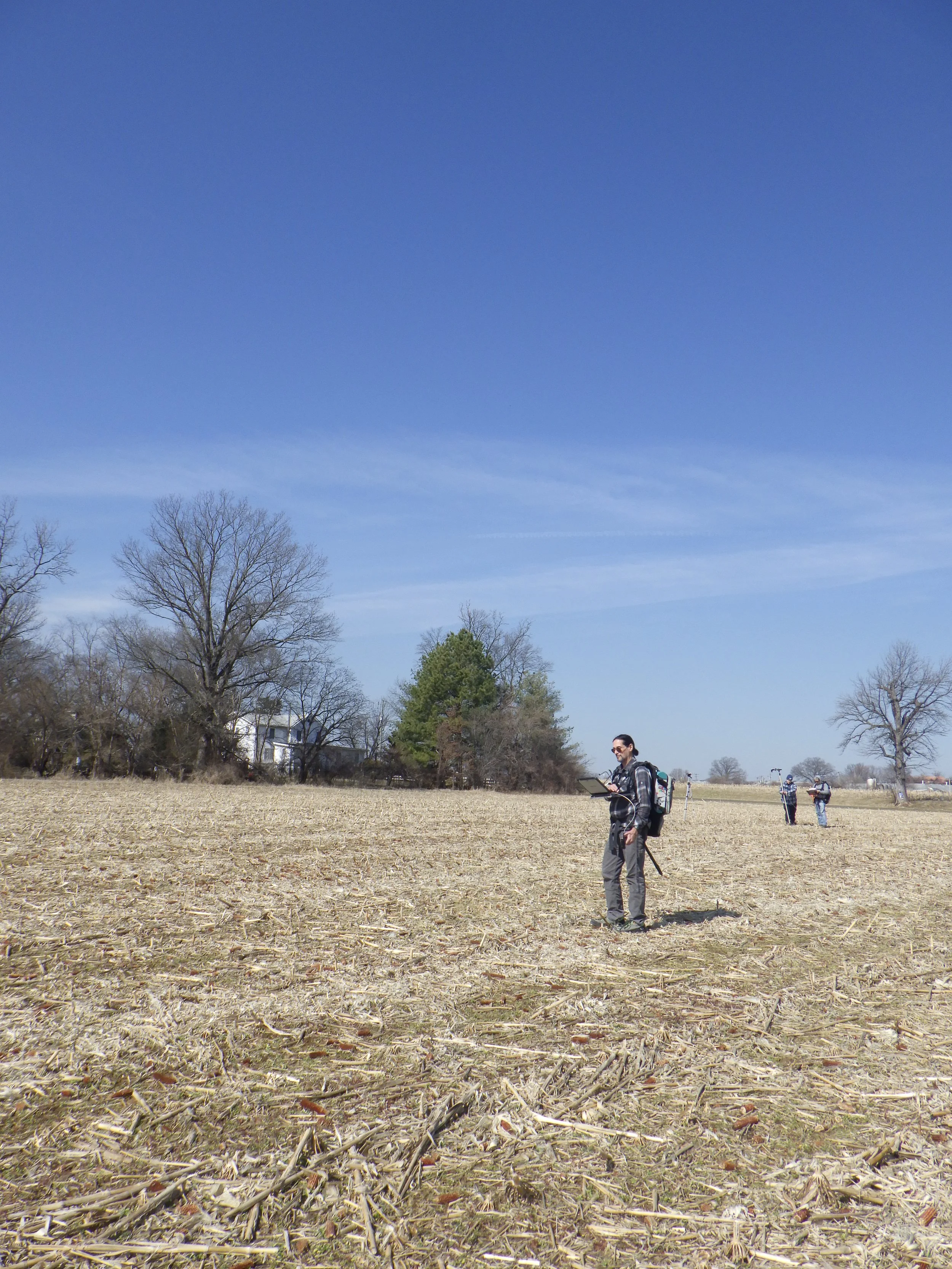
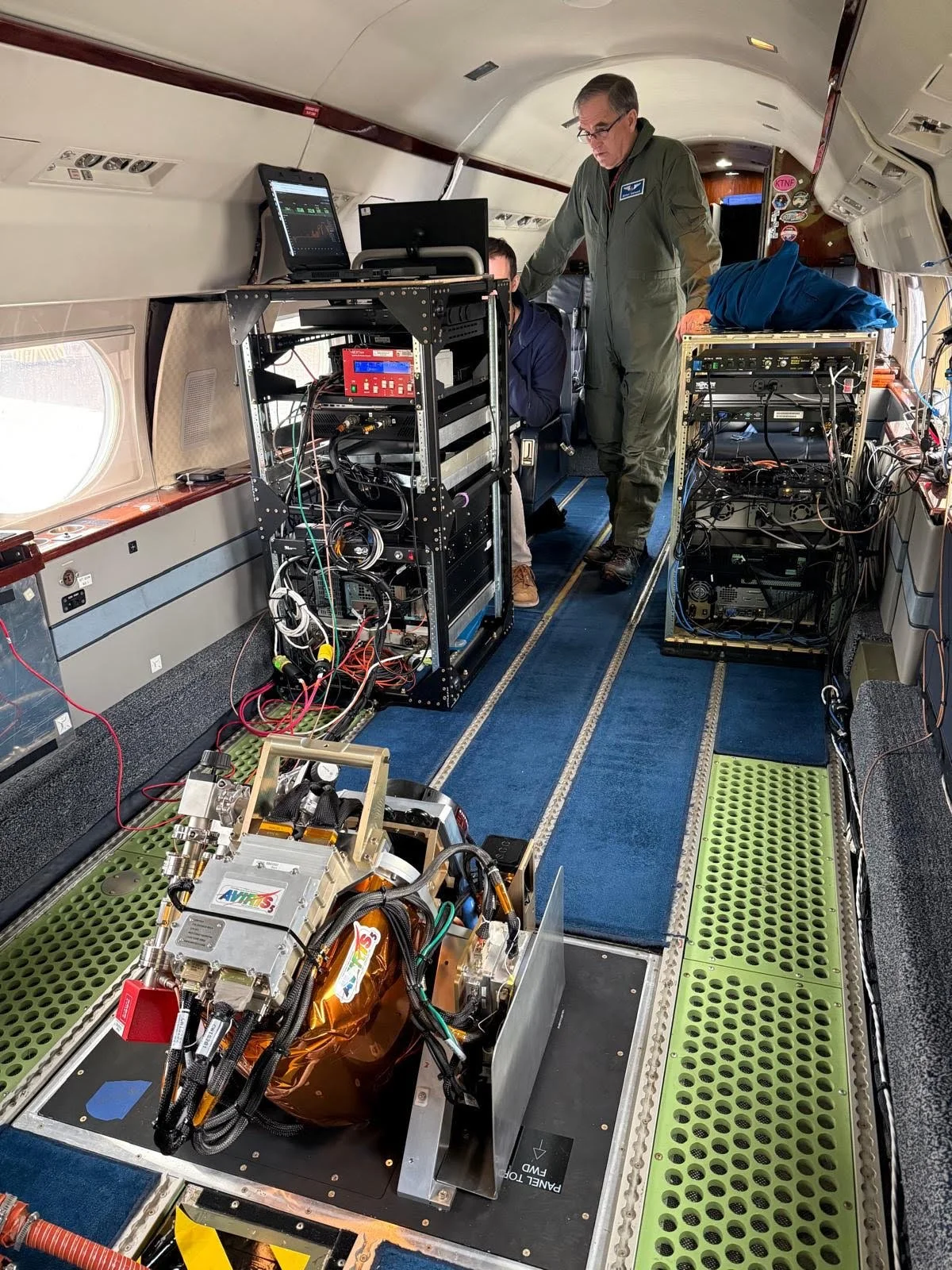
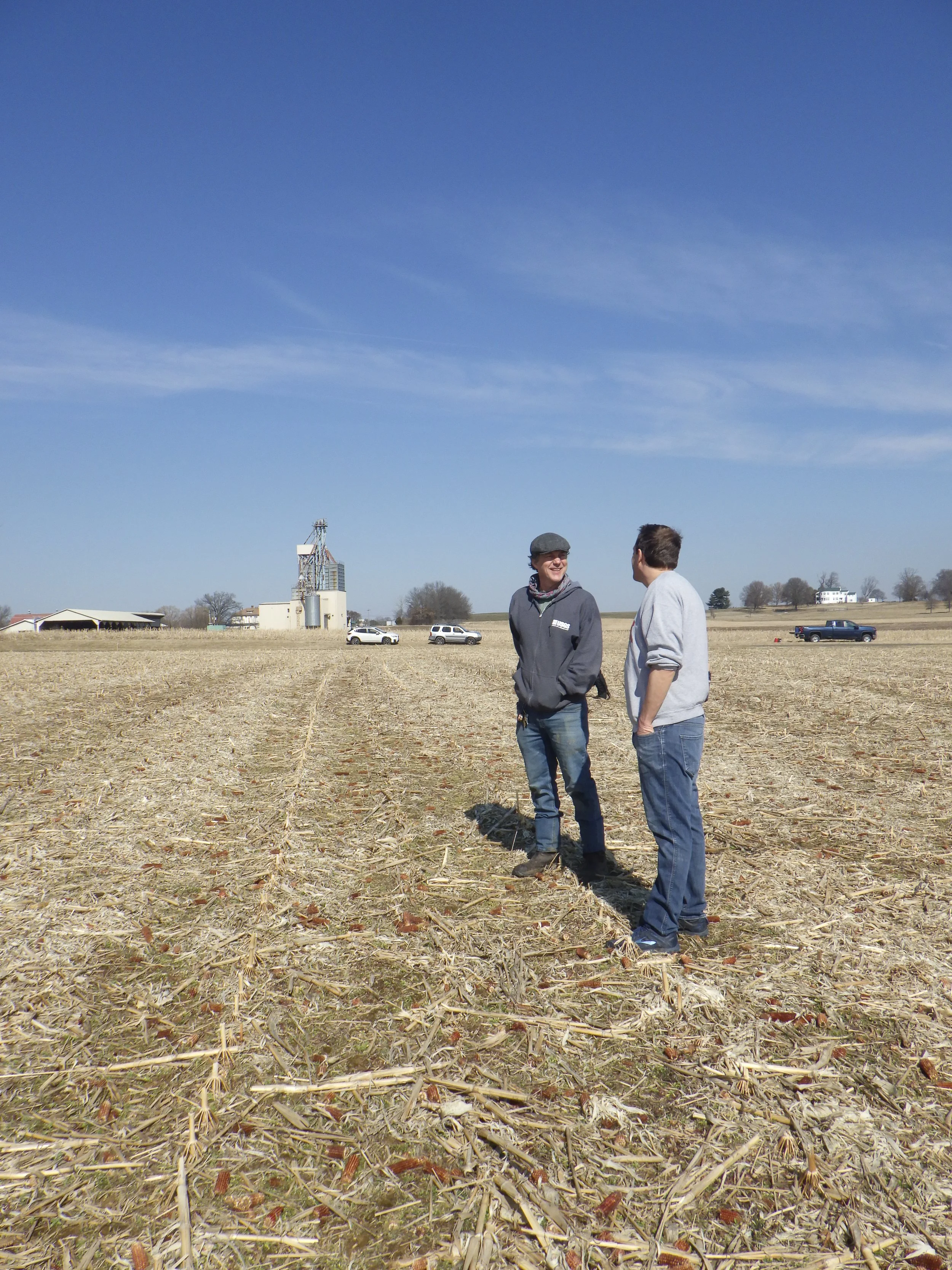
Earlier this year, the team also collected a unique hyperspectral dataset using NASA's Airborne Visible/Infrared Imaging Spectrometer (AVIRIS-5), one of NASA's premier airborne Earth observation instruments, capable of detecting subtle differences in plants, soils, and crop residue in agricultural landscapes. On the day of the flight, Hively and his team spread out over agricultural fields at the Beltsville Agricultural Research Center in Maryland to collect field photographs, soil samples, crop measurements, and spectrometer readings as the aircraft passed overhead. These ground observations help provide critical validation data. The effort also brought together observations from Germany's EnMAP satellite, Planet's Tanager mission, Landsat, and Sentinel-2, creating a comprehensive multi-scale dataset that will help refine remote sensing approaches for monitoring cover crops, crop residue, and conservation practices across working agricultural landscapes.
The use of AVIRIS technology and data is one example of how NASA Acres is helping translate cutting-edge Earth observations into practical agricultural applications. These same tools haves supported NASA Acres research led by Dr. Katie Gold and collaborators at Cornell University, where imaging spectroscopy, including through the AVIRIS4Acres campaign, is being used to identify disease and plant stress in vineyards before symptoms are visible to the human eye. Just as the PSA Remote Sensing Team is helping conservation agencies measure environmental outcomes, Gold's team is helping growers make earlier and more informed management decisions, demonstrating the broad potential of NASA Earth observations to support U.S. agriculture.
Long-term intensive research in Maryland is also informing broader efforts beyond the state. Similar approaches are being applied to cover crop monitoring efforts in Pennsylvania, Missouri, Delaware, and Virginia. The goal is to establish remote sensing as a trusted and scalable tool for measuring conservation outcomes throughout the region and to provide data driven tools designed to enhance the decision making process for growers and agency partners.
By transforming satellite observations into actionable information, the PSA Remote Sensing Team and their collaborators are helping farmers, conservation programs, and state agencies better understand what works, where it works, and how to maximize benefits for both agriculture and the environment.