
Essential Agriculture Variables
Why this matters
Think of Essential Agriculture Variables (EAVs) as the key building blocks that tell us about what is happening now in agriculture and what we can expect in the near future. We built EAVs as the science foundation of NASA Acres because:
By improving the methods to measure EAVs, we can understand what is happening in agriculture,
With better methods, we can combine these EAVs to increase our knowledge about the interplay between between these variables, and,
With increased knowledge about what is happening where and why, we can build these insights into tools that empower decisions in near-real-time.
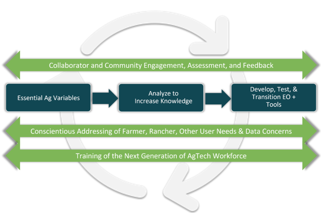
Why EAVs?
The agricultural decision making community often asks, “what can satellites see?” The EAV framework itself is a valuable translational tool to answer this question.
Answering the question of “what is possible” gets you part way, but we need to demonstrate the relevance and value to different decision makers who are working in U.S. agriculture. That is why the majority of our projects include methodological improvement for mapping different EAVs. The projects immediately benefit our existing Collaborator Partners, and serve as a jumping off point for benefiting new decision makers who join NASA Acres.
The findings from the decision makers needs assessment process, and from feedback they provide as we roll out EAVs, provides critical feedback to NASA and other space agencies on satellite data requirements - what they need to produce, where, and when. These findings also help set priorities for public and private organizations interested in supporting U.S. agriculture at the intersection of data and action.
Realizing the benefit of this Consortium’s model, NASA Acres Research, Development, and Extension Partners can integrate their EAVs with one another to unlock new insights and benefits, and inter-compare their methods and approaches toward overall improvement in the performance of satellite data for agriculture.
Where We Are Now
In designing NASA Acres, we triangulated the experience of GEOGLAM, the capabilities of the top satellite data scientists and practitioners who make up NASA Acres Research, Development, and Extension partners, and the needs of decision-making-collaborators already in our network, to identify an initial set of EAVs on which to focus. While we will refine our EAVs over time through consultations and feedback from decision-makers, our initial list of EAVs.
NASA Acres | Essential Agriculture Variables
Within-Season Yield Forecasting
Historical Yield Estimation
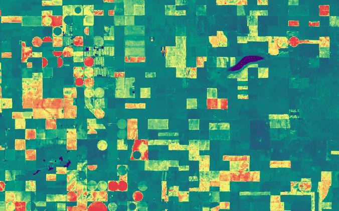
Cropland and Crop Type Mapping
Crop and Crop Type Area Estimation
Crop Planting and Harvest Dates
Field Boundaries and Sizes
Cover Crop Utilization and Performance
Crop Residue and Tillage Mapping
Canopy Nitrogen Content
Rangeland Productivity
Rangeland Forage Quality
Evapotranspiration
Soil Moisture
Soil Organic Carbon and Other Metrics of Soil Health
Pest & Disease Early Detection and Warning
Plus, the EAVs offer a conversational platform for innovation. The EAV framework is a valuable tool for describing what is possible to ask and answer using satellites when conversing with farmers, ranchers, researchers, policymakers, and others interested in agriculture.
Learn about our EAVs below. Soon, you will be able to interact with our available EAVs in our NASA Acres Data Portal. Get informed by subscribing to our newsletter!
Monitoring of water content in soil layers critical for crop growth and irrigation planning.
Assessment of soil carbon content and comprehensive health indicators for sustainable agriculture.
Remote sensing identification of crop stress and disease outbreaks for timely intervention strategies.