
Linking Technology and Agriculture
Program Overview
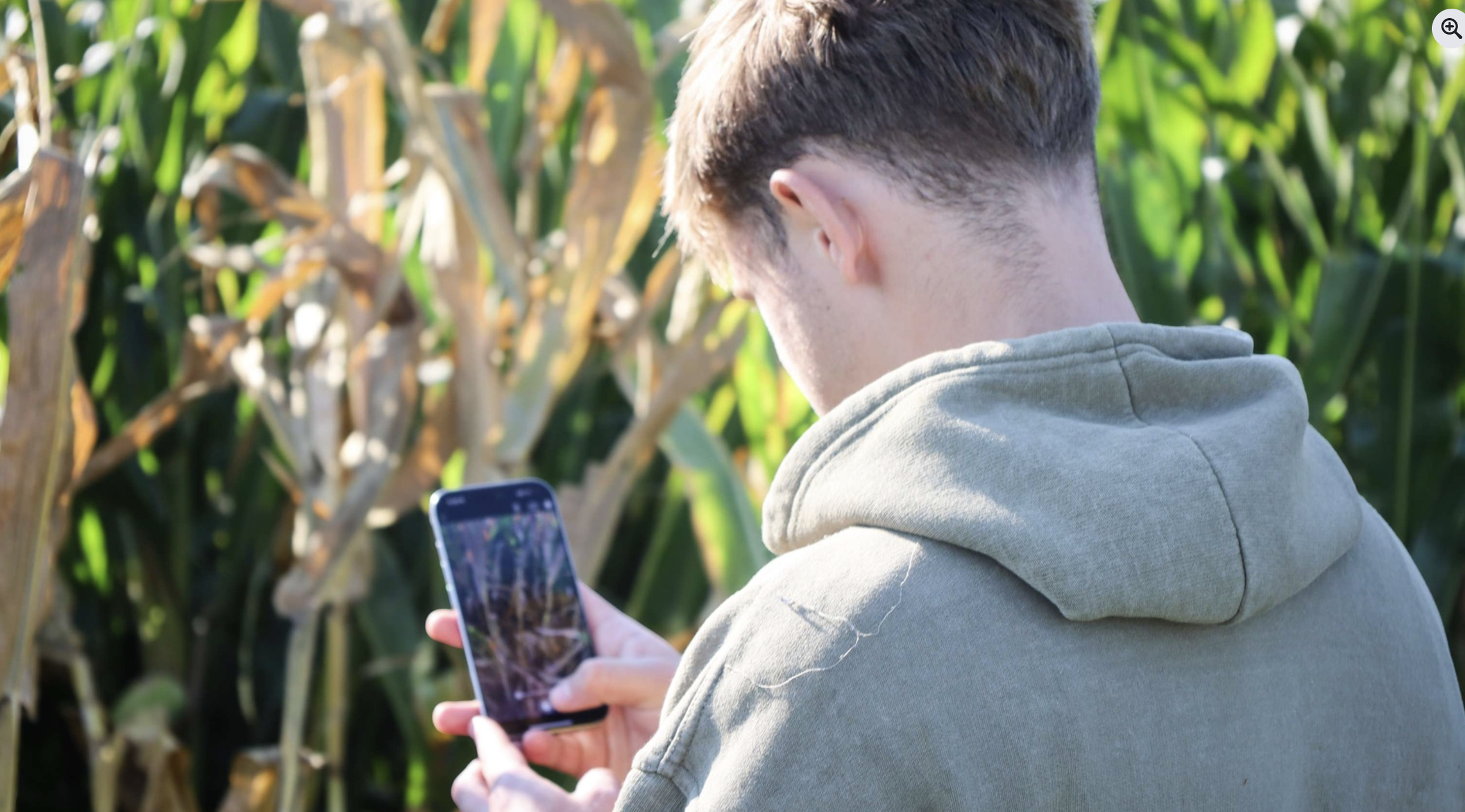
The "Technology and Agriculture" program creates partnerships between local students, farmers, and NASA Acres. This program features a multi-week curriculum co-developed by NASA Acres and the host community colleges, focusing on remote sensing applications in agriculture and culminating in practical projects. As a key component of NASA Acres' and NASA Agriculture's workforce development strategy, the program actively integrates on-farm and Earth Observation (EO) data to generate valuable insights for students, farmers, and NASA Acres.
Why This Matters
The "Technology and Agriculture" program represents an opportunity to expand NASA's footprint in agriculture while building critical workforce development pipelines. This structured 15-week program connects community college students with local farmers and NASA technology, creating mutual benefits across all stakeholders while directly supporting NASA Acres' core mission.
Introduce students to NASA data and its applications on-farm — Provide hands-on experience using NASA technologies in agriculture, from in-field data collection to Earth observation (EO) analysis.
Expand the trust network – Engage directly with farmers to answer their questions, using NASA tools to address challenges and support decision-making. Engage with community colleges to integrate NASA data and technology into agricultural education.
Expand private-public partnerships – Collaborate with commodity groups. Capitalize on public-private initiatives to support curriculum development and technical training.
Expand use of NASA tools and programs — Engage farmers and students in real-world applications to solve agricultural challenges using NASA technologies, engage students with career opportunities at the center point of technology and agriculture.
Course Outline (15-Week Format)
The program uses a flexible model designed for cooperative development by NASA Acres, the community college. The outline of the course follows these three areas.
1: Foundation Building
Understanding of GIS and Remote Sensing fundamentals
Apply GIS and RS to agricultural applications
2: On-Farm Experience
Identify specific agricultural challenges that could benefit from remote sensing solutions
Apply classroom knowledge to real-world farming operations
3: Project & Presentation
Develop solutions to identified agricultural challenges using NASA data and tools
Create final presentations showcasing their findings
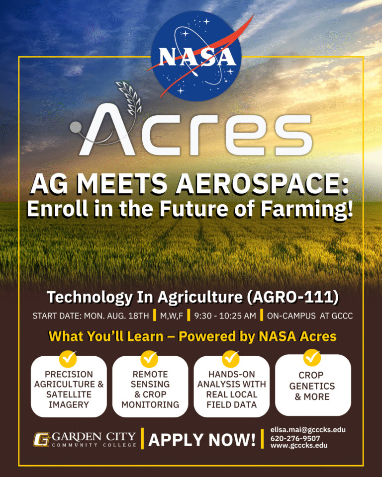
Garden City Community College in Kansas
The pilot program, in collaboration with Kansas State University, and Garden City Community College designed a 15-week curriculum with 3 classes with ~1 farm visit per week.
Huge thank you to Garden City Community College and Professor Elisa Ma!
Go Broncbusters!

Content that has been created and designed can be adapted to other areas in the U.S.
Want to learn more? Email Jacob at jacob@nasaacres.org