News

Garden City Community College Completes Pilot Course with NASA Acres
Garden City Community College (GCCC) in Garden City, Kansas has successfully concluded the first offering of Technology in Agriculture (AGRO-111), a course developed in collaboration with NASA Acres and Kansas State University and launched in Fall 2025. This partnership aligns closely with NASA Acres goals to support agricultural workforce development and expand access to Earth observation tools for students and educators.

Building Tomorrow’s Agricultural Workforce with NASA Acres at the National FFA Convention & Expo
This fall, NASA Acres reinforced its commitment to agricultural workforce development at the 2025 National Future Farmers of America (FFA) Convention & Expo, the nation’s leading event for agricultural education and leadership. With more than 70,000 students, educators, sponsors, and industry leaders in attendance, the convention represents an important pipeline for the next generation of farmers, scientists, engineers, and innovators.

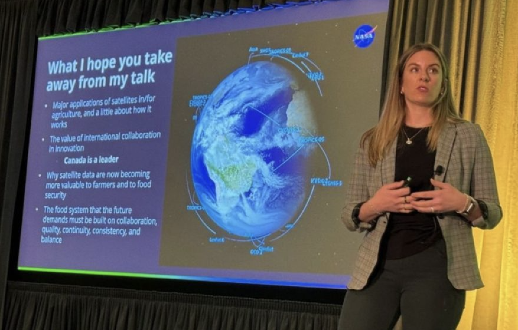
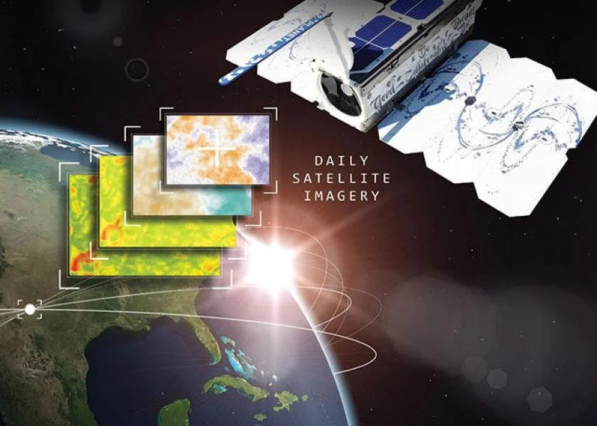
NASA Acres Showcases Cutting-Edge Agricultural Science at Living Planet Symposium in Vienna
NASA Acres Research, Development, and Extension Partners took the global stage at the 2025 Living Planet Symposium in Vienna, Austria, presenting groundbreaking work on Earth observation applications for both U.S. and international agriculture. Hosted by the European Space Agency, this triennial event brings together scientists, policymakers, and technology leaders from around the world to explore the future of satellite data and its role in addressing global challenges.

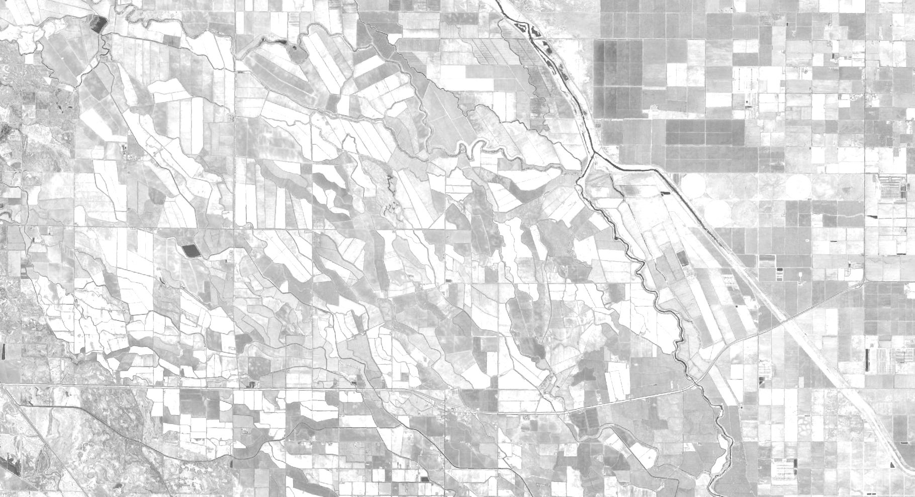
New Synthesis Highlights the Potential – and Current Limitations – of Satellite Data in Rangeland Management
A new article released by researchers Tony Vorster and Nicholas Young at Colorado State University’s Natural Resource Ecology Laboratory, in partnership with the NASA Acres Consortium, explores how satellite imagery and other remote sensing technologies can inform rangeland management across the American West. The paper, "Opportunities and Limitations of Remote Sensing for Rangeland Management", offers land stewards a grounded, practical guide to navigating the growing suite of digital tools.

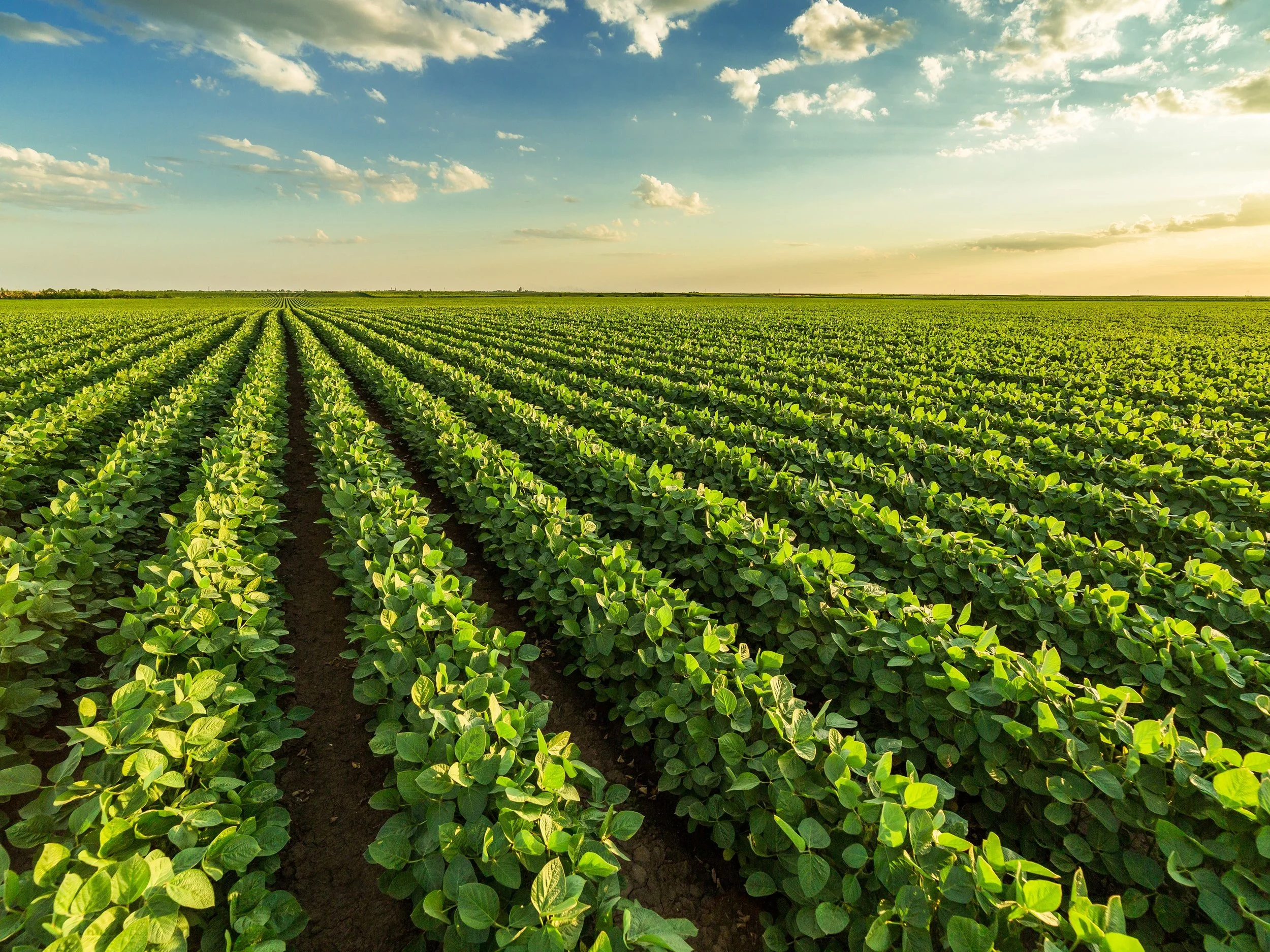
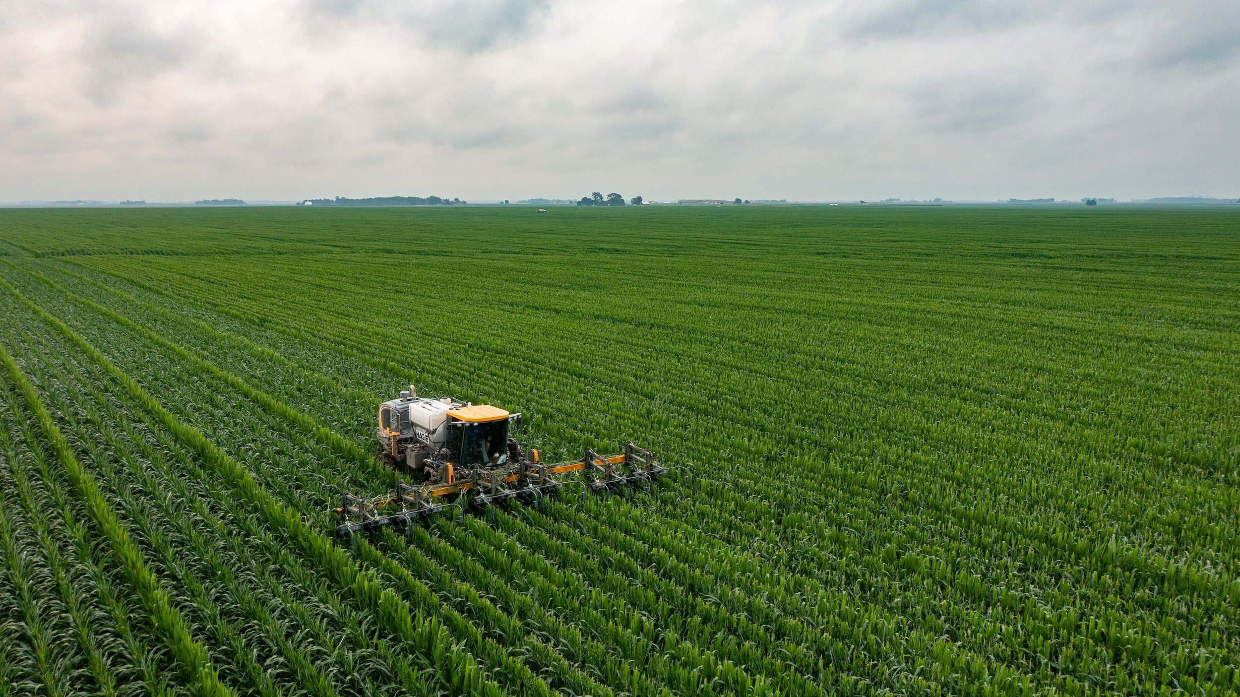
Researchers are Using Satellite Imagery to Help Predict Soybean Quality Before Harvest
Soybean production in the U.S. has steadily been on the rise over the past two decades, driven by both its versatility and economic value - with national acreage growing by over 18 percent. There is growing interest in improving soybean management practices and better understanding seed quality traits. To support this effort, a team of researchers, led by Ignacio Ciampitti (formerly at Kansas State University, now at Purdue University) and Carlos Hernandez (Kansas State University), is advancing research that integrates in-field crop data with open-source satellite imagery to better understand factors that influence soybean quality and predict traits, such as protein and oil content, before harvest time.

NASA Acres In The News
-
![]()
-
![]()
Smart Farming at SATELLITE 2025: How Satellites Are Transforming Agriculture
3/26/25 | Satellite World
-
![]()
Making it Easier to Use Satellite Data in Agriculture
10/17/24 | Sustainable Winegrowing with Vineyard Team
-
![]()
Survey Highlights Farmers’ Belief in Data Ownership and Collaborative Data Use
9/3/24 | Ag Data Transparent
-
![]()
From space to farm: readying NASA satellites to help growers
8/22/24 | Cornell Chronicle
-
![]()
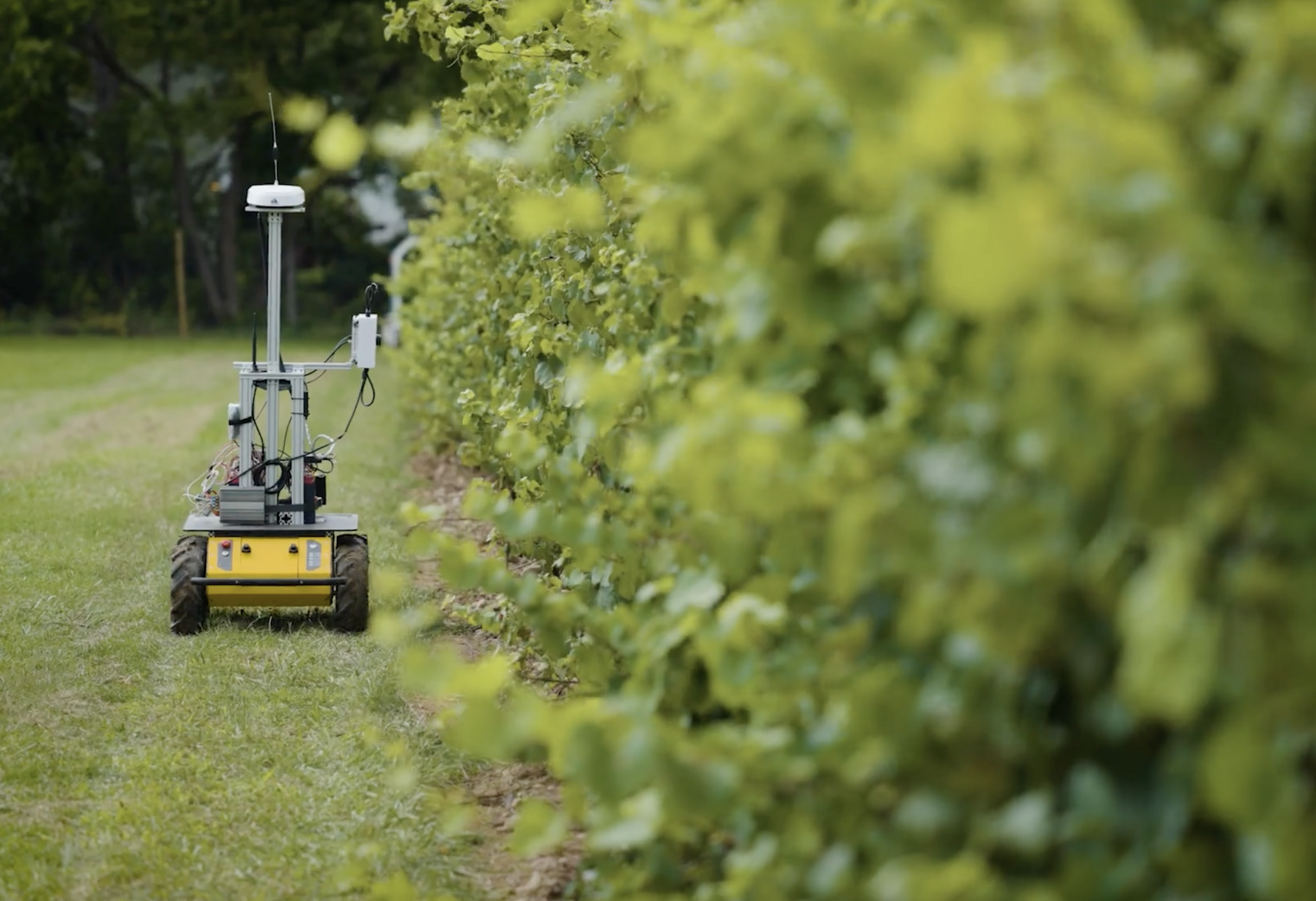
NASA and Cornell use robots, satellites for agricultural research
8/21/24 | Spectrum News
-
![]()
NASA Space for Ag New York Tour - Geneva
8/14/24 | Morning Ag Clips
-
![]()
15 Minutes With… Dr. Alyssa Whitcraft, Executive Director of NASA Acres
6/25/24 | Women in Agribusiness
-
![]()
-
![]()
Whitcraft to deliver WIA Summit keynote speech
5/30/24 | World Grain
-
![]()
NASA is helping farmers — how researchers are using satellite images to address big ag issues
5/10/24 | Harvest Public Media
-
![]()
-
![]()
-
![]()
USA Rice Participates in NASA Acres Program Launch
11/08/23 | USA Rice
-
![]()
-
![]()
Live plant pathogens can travel on dust across oceans
10/10/23 | Cornell
-
![]()
Maui United Way and NASA Collaboration Expedites Aid for Maui Wildfire Survivors
10/06/23 | Maui Time
-
![Cotton Newsline Interview with Alyssa Whitcraft]()
Cotton Newsline Interview with Alyssa Whitcraft
9/1 | National Cotton Council of America
-
![]()
Satellite Plants Roots in Agriculture
8/28/23 | Via Satellite
-
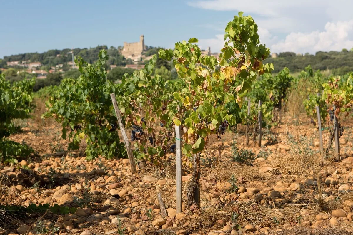
![Vineyard]()
How Satellites Are Helping Farmers Adapt to Global Warming
8/18/23 | Bloomberg
-
![]()
The climate wrecking ball striking food supply
8/7/23 | Axios
-
![Hands holding grapes]()
NASA Helps Spot Wine Grape Disease From Skies Above California
8/4/23 | NASA JPL
-
![]()
New method has promise for accurate, efficient soil carbon estimates
8/2/23 | Science Daily
-
![]()
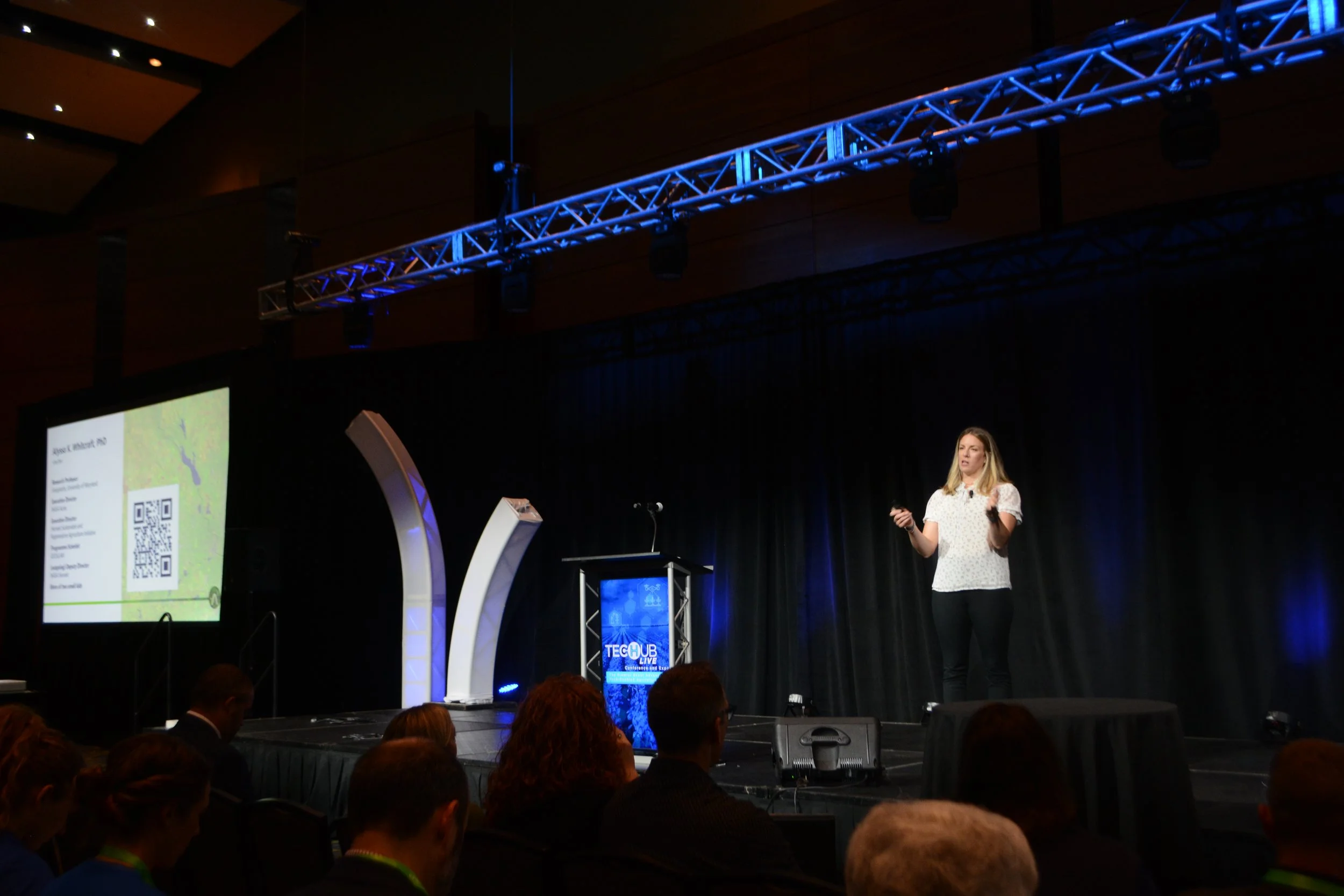
Tech Hub LIVE Keynote Presentation: How NASA Is Supporting a Revolution in Ag Tech
7/25/23 | Crop Life Media
-
![AgWired - News from the world of Agribusiness logo]()
-
![Map showing drought intensity over the United States]()
A Rough Harvest For Kansas Wheat
6/20/23 | NASA Earth Observatory
-
![Farm Journal - AG WEB]()
NASA’s Newest Mission is Focused on Helping U.S. Farmers
5/24/23 | Farm Journal AgWeb
-
![Croptastic Innerplant Logo]()
5/15/23 | Croptasic InnerPlanet Podcast
-
![]()
-
![]()
A Different Kind of Space Force: How NASA satellite data is harnessed to combat food insecurity
3/12/23 | The Austin Chronicle
-
![]()
NASA supports and studies agriculture
3/14/23 | The Monroe News
-
![]()
-
![]()
MSU researchers part of $15M NASA grant to help US farmers
11/30/22 | MSU Today
-
![]()
UMD to Lead Effort to Bolster U.S. Agriculture With Satellite Data
11/15/22 | Maryland Today
-
![]()